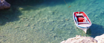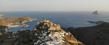
The straits, southwest of Samos and east of Ikaria, are speckled with a mini archipelago of several islands of which Thimena and Fournoi are inhabited. Fourni itself is home to a huge fishing fleet and one of the more thriving boatyards in the Aegean, that is the reason why the island has a stable population of about 1600 inhabitants, unlike so many small Greek islands. Fournoi’s inhabitants are concentrated in the port, in Kambi hamlet just south side and in Chryssomilia about 20 kilometres north. The harbour community is larger than it seems from the sea, with a friendly ambience reminiscent of 1970s Greece. The historical pirate connection is reflected in the municipality’s official name, Fournoi Korseon (Fournoi of the Corsairs).
There is a central “high street”, field-stoned and mulberry-shaded, which ends well inland at a little square with two giant plane trees, bakery shops and popular traditional coffee shop called Kafeneio in Greek.
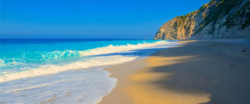
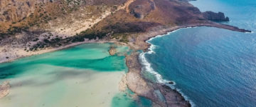
When you are heading north from the island’s harbour there are slightly sullied beaches like Psili Ammos and Kalamos. In the extreme north there is another beach, called Chrissomilia which is scrappy and not a tourist friendly one.
Fournoi as mentioned above belongs to an archipelago. This archipelago contains about 20 islands, the largest of which are Fournoi with an area about 30 square kilometres, then Thimena and last Saint Minas with an area of 2 square kilometres.
In Thimena there is one tiny hillside settlement with about 140 inhabitants. Thimena is not a tourist attracted island, though it is a quiet one with one large beach south of town. The Thimena like the entire complex of the Fournoi is included in the network Natura 2000 as a high protection area and also marked an important area for birds in Greece.
The total area of Thimena is about 10.000 square kilometers and the highest point of the island is 470 meters.
The Fournoi archipelago lies in the Aegean Sea and the geographical coordinates are 37°38’08.7″N 26°30’26.6″E in Aegean Sea.

