The arrow head Zakynthos is the third largest of the Ionian Islands, after Kefalonia and Corfu, with an area of 406 square kilometers. The coastline has a length of 123 km. While the shape of the island resembles an irregular triangle based on the Gulf of Lagana, and top Cape Skinari in the north. According to the last census Zakynthos is the third most populous island in the Ionian Sea with a population of 41.000 inhabitants .
Zakynthos, also known by its Italian name Zante, battles against heavy package tourism along its eastern and southeast coasts. The island is essentially a beautiful one with western and central regions of forested mountains dropping off to unreal turquoise waters. The northern and southern capes remain verdant and less exploited, and Zante Town adds a bit of sparkle to the overrun east, where the loggerhead turtle population struggles in the face of development.
Zippy Zakynthos Town is the capital and port of the island and wraps round an enormous blue bay. The town was devastated by the 1953 earthquake, but was reconstructed with arcaded streets, imposing squares and gracious neoclassical public buildings. A Venetian fortress looks down from a hill on the hubbub of town life.
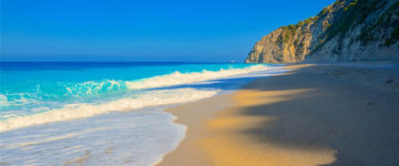
Amid all of the southern sprawl, Vasilikos Peninsula, bordering the Bay of Laganas, remains the most forested and serene. Nevertheless it has started to become developed. For example, Banana Beach, a long, narrow strip of golden sand on the peninsula’s northern side, sees crowds, water sports and umbrellas. Kaminia is a decent option. Zakynthos’ best beach, long, sandy Gerakas, is on the other side of the peninsula, facing into Laganas Bay. Please note, however, that this is one of the main turtlenesting beaches, and access is forbidden between dusk and dawn from May to October; follow conservation recommendations, available at the booth near the beach access path. With transport, you can reach the raw terrain of the far southwest of the island. Beyond the traditional village of Keri, a tiny road leads to Cape Keri and its lighthouse above sheer cliffs. Scenic and sometimes happily confusing roads lead north from here through beautiful wooded hill country where locals sell honey and other seasonal products. The route leads to the few land accessible west-coast coves such as Limnionas or Kambi and to inland gems like Kiliomeno, whose church of St Nikolaos features an unusual roofless campanile. The bell tower of the church in Agios Leon was formerly a windmill. Lovely Louha tumbles down a valley surrounded by woodlands and pastures.
The east coast north of Zakynthos Town is filled with resorts but the further north you go, the more remote and charming the island becomes. The road narrows at the ferry village, Agios Nikolaos, where development is slight. Carry on to reach pastoral, breezy Cape Skinari .
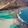
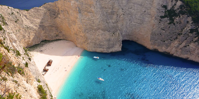
Worthy of attention the famous Shipwreck beach, magnificent photos of which grace every tourist brochure about Zakynthos and even Greece. It is in Navagio Bay, about 3km west of Volimes at the northwest tip of the island. In low season it is, indeed worthwhile visiting it but in the high season it overcrowded.
Zakynthos lies in the eastern part of the Ionian sea, around 12 miles west of the Greek Peloponnese mainland. The exact geographic coordinates are 37°47’28.7″N 20°53’53.4″E in Ionian Sea in Greece. The island of Kefalonia lies 9 miles on the north. It is the southernmost of the main group of the Ionian islands (not counting distant Kythira). Zakynthos is about 25 miles long and 12 miles wide, and covers an area of 158 sq miles. It’s coastline is approximately 76 miles long. According to the last census, the island has a population of 45,650. The highest point is Vrachionas, at 758 m.

