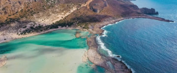
The island of Cythera dangles 12km off the tip of the Peloponnese’s Lakonian peninsula between the Aegean and Ionian Seas. It is, despite its proximity to the Peloponnese, considered a part of the Ionian Island group, and the stands of cypress trees help remind you. Genuinely unspoilt, the rolling, central plateau that covers most of the island is farmed in places, and raw in others (with wild fennel and garlic). Towards the coast the land drops, forming cliffs to the sea and hidden beaches. The island’s population is spread among more than 40 relatively rural villages, and benefits from potable water and lush valleys.
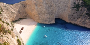
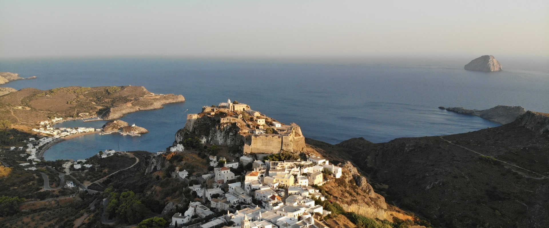
The picturesque village of Kapsali, 2km south of Hora, is made spectacular by its twin sandy bays and sparkling waters. The protected harbour served as Hora’s port in Venetian times, and the ochre beach has sheltered swimming. Kapsali’s curving bays, lined with restaurants and cafes, look dazzling when viewed from Hora’s castle . The rocky island offshore is known as Itra (cooking pot) because when clouds gather above it locals say it looks like a steaming cooking pot.
Potamos is the island’s commercial hub. Its Sunday morning flea market attracts just about everyone on the island, and its central square is great for people-watching.
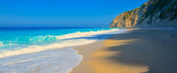
Cythera’s northern port of Agia Pelagia is a simple waterfront village set amid stunning cliffs and wooded inland valleys. Its sand-and-pebble beaches have vibrant azure waters, but better still are the magnificent volcanic beaches south of the headland, ending at Lagada Beach. The red, pink and tawny beaches are backed by cliffs, and also make for a good walk.
Cythera is an island in Greece located in Aegean Sea and the exact geographic coordinates are 36°15’00.0″N 23°00’00.0″E. The distance from Anticythera island is about 22 square kilometres.


