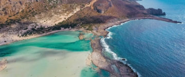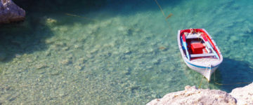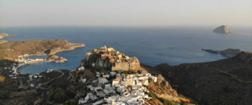
Agathonisi is a small Greek island and municipality located at the northernmost point of the Dodecanese in Greece. The island has a total area of about 14 square kilometers and is located about 14 miles south from Samos island. Agathonisi has a rich marine partition of sheltered bays and many small islets like the Pita,the Stroggili, the Neronisi, the Katsagani and the Kounelonisi. The island is one of the protected areas by the Natura 2000 as it is a valuable refuge for many rare birds.
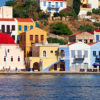
Arriving in Agathonisi’s harbour – enclosed by a fiordlike formation and the buildings so few you could count them in a breath – is pure magic. So far off the tourist radar its neighbors barely acknowledge it, Agathonisi is quiet enough to hear a distant Cyclops break wind. There’s little to do here but read, swim, explore the island’s caves (once used by islanders to hide from pirates) and then restart the formula.
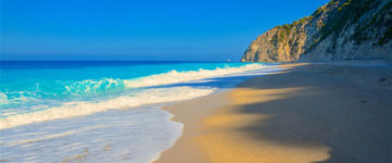
The village of Agios Georgios is the island’s primary settlement. The highpoint of the day is sitting on the harbor beach pondering the turquoise and watching the fishermen roll in with their catch. Spilia Beach, 900m southwest around the headland, is quieter and better for swimming. Further 1km walk will bring you to Gaïdouravlakos, a small bay and beach where water from one of the island’s few springs meets the sea.
In the western Part of the island at a distance of about 14 miles lie Marathos island and Lipsi island while on the southern side further away lie Leros island, Kalymnos island and Pserimos island.
The specific geographic coordinates are 37°28’01.1″N 26°57’53.8″E in Aegean Sea.

